
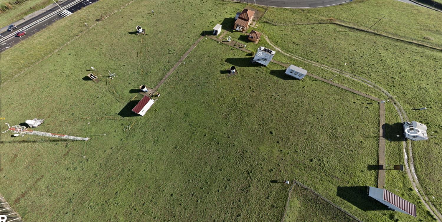
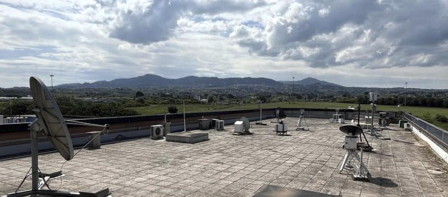
The Italian Atmospheric Rome joinT SupersitE (ARTE) National Facilities includes two experimental sites located in the metropolitan area of Rome:
These two sites are located in an environment resulting of particular relevance for atmospheric pollution monitoring and characterization. In addition, the city of Rome is located not far from the Tyrrhenian coasts and exposed to sea-breeze circulation and to extreme aerosol events, as Saharan dust is frequently transported through the Mediterranean Sea. Rome is also subject to energetic meteorological events, especially during autumn and winter periods. This configuration is unique in Europe. Thus, the synergy of these two sites gathers a unique ensemble of advanced instrumentation for atmospheric remote-sensing and for the validation of atmospheric composition satellite data.
Current observations are directed towards the study of atmospheric composition, boundary layer dynamics, meteorology and the study of precipitation.
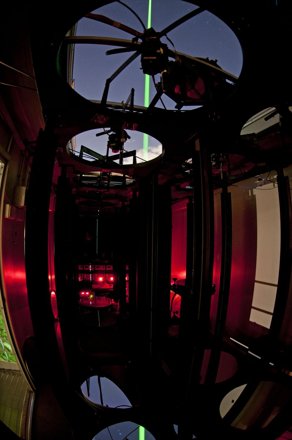
Observational methodologies include remote sensing from the ground and from satellites, atmospheric composition and precipitation measurements from both stationary and mobile means. Lidar, Radar and Sodar instrumentation developed by ISAC, ISMAR and La Sapienza is used in parallel with advanced commercial instrumentation.
Validated products and/or ‘quick-looks’ are provided to both national and international networks (e.g., Aeronet, E-Profile, Earlinet, NDACC, Skynet, Alice-net, ArpaLazio-net) and for the validation of satellite data (e.g., GPM, EarthCare).
Within ACTRIS, ARTE fulfils the requirements for the Aerosol Remote Sensing (ARS) component (https://actris-nf-labelling.out.ocp.fmi.fi/facility/81), for which the labelling procedure will start at the end of 2023. The other components such as ‘Aerosol in-situ, Trace Gases Remote Sensing and Cloud Remote Sensing’ will be included in the coming years.
Some of the data products provided by ARTE are available at the following sites:
– Davide Dionisi (P.I. ARTE): davide.dionisi at cnr.it
– Giampietro Casasanta (co-P.I. ARTE): g.casasanta at isac.cnr.it
– Luca Di Liberto (P.I. CIRAS): l.diliberto at isac.cnr.it
– Annalisa Di Bernardino (P.I. BAQUNIN): annalisa.dibernardino at uniroma1.it
– Francesca Barnaba (P.I. Photometer) francesca.barnaba at cnr.it